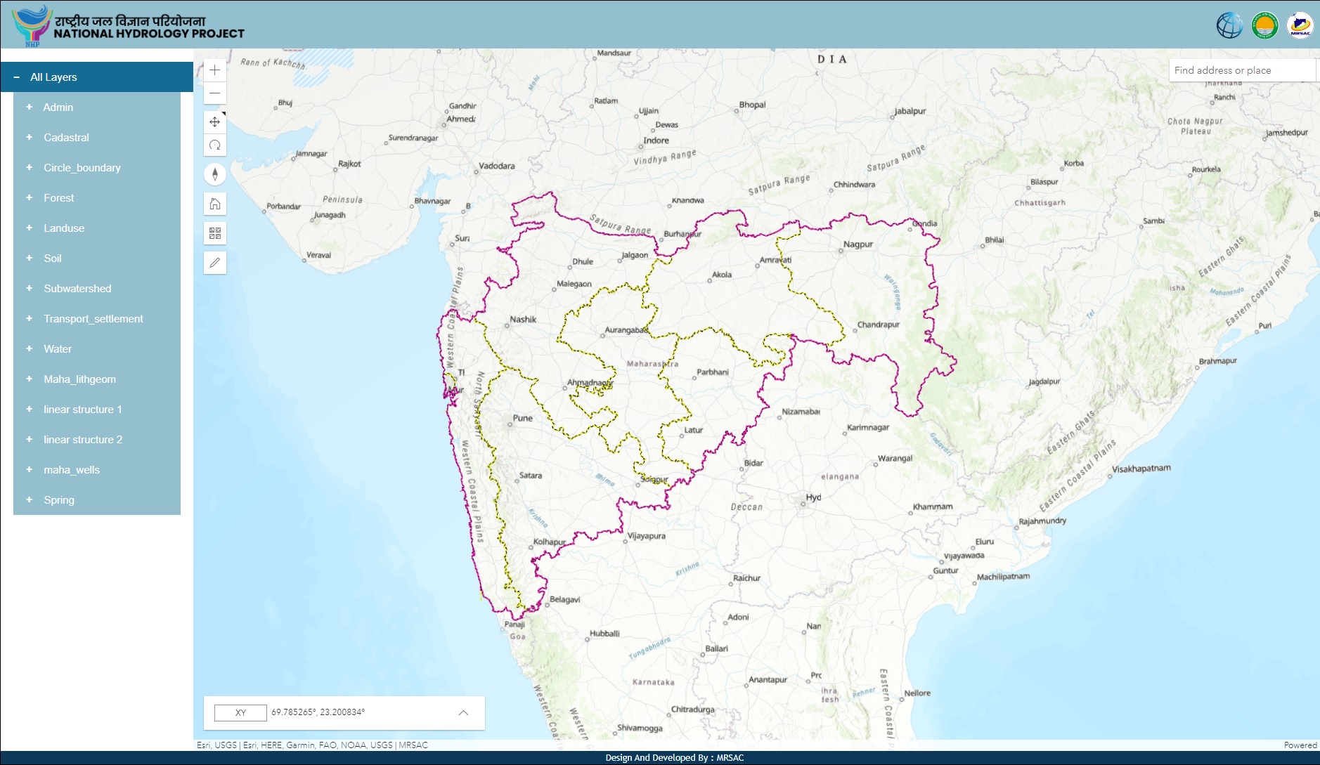
Supports the strengthening of state level, sub-national water information centres with web-enabled WRISs through standardization of databases and products from various data sources/departments and make comprehensive, timely, and integrated water resources information available to decision makers for effective planning, decision making, and operations. The sources of data/information include the real-time data acquisition networks and centres under, remote sensing data, and topographical maps and knowledge products. Emphasis will be on improving quality of and access to water information and on expanding public access beyond data to analytical results (trends, water balance, and so on) as well as to contribute to evidence based operational and investment plans. The project will support development or strengthening of centres for web-based WRIS at the river basin, and state levels. Some of the key activities under this component is to develop the State Water Resources Information System.
Proceed to WRIS...


