ABOUT PROJECT
MahaAgriTech project initiated by the Department of Agriculture, Government of Maharashtra is a unique project envisaging synergistic use of multiple technologies towards improving agriculture situation in the state. Use of Geo-ICT technologies and development of User friendly Dashboards for Agriculture Decision Support in Maharashtra is the main focus of the project. Multi-sensor moderate / high resolution satellite data, drones, Mobile based field data and many other datasets are used in the project. The project supports both farmer centric and planning centric activities in agriculture decision making as well as the major on-going programmers – crop insurance, drought management, agro-advisory etc.
The project attempts innovative mapping and data analysis techniques to provide quantitative in-season measures / metrics / parameters related crop growth and productivity. All the tools and techniques, currently available for crop assessment and global experiences are to be fully exploited in this project to generate objective information products. For example, satellite data of medium and fine resolutions will be used, respectively, for semi-detailed and detailed information on crop growth and prospects; GIS tools for generation of maps, GPS for geo-location and time-stamping, mobiles for collection and transmission of geotagged and time stamped field data on crops, soils, pests and diseases, etc. are generated for assessment of the crop growth.
MahaAgriTech project is implemented all over Maharashtra, from June 2018, by MRSAC and NRSC-ISRO for Department of Agriculture, Government of Maharashtra. The project is expected to provide objective and accurate information on crops from time to time in the season for informed decision making for agriculture management. Farmer advisory system will be strengthened with near real-time field information, the advisory services cover – weather, pests/diseases thereby enhancing the crop risk management ability of farmers. Assets created under different development projects, farmer beneficiaries are to be brought on to a digital platform for analytics and value addition.
OBJECTIVES
Mapping of kharif and rabi crops and inventory at village/ circle/ Tahsil/ Division/ District level.
Monitoring crop prospects with satellite derived indices (NDVI/NDWI/VCI) at circle level.
Crop yield modeling and yield estimation using AI and ML techniques and crop surveillance.
Integration of soil health card data and dissemination of nutrient based crop advisories.
Focuses on expansion of extension activities (knowledge dissemination), through digital platform.
Design & Development of mobile applications for evidences based field data collection.
Development of Geo-portal & dashboard for decision support for agriculture management.
Training and capacity building to the Department of Agriculture and line Departments.
Encourage R&D activities as a effort to bring innovative products and services in to the system.
MahaAgriTech TEAM
MahaAgriTech team includes Policy makers, Scientists, Domain / Thematic Experts & Software Developers
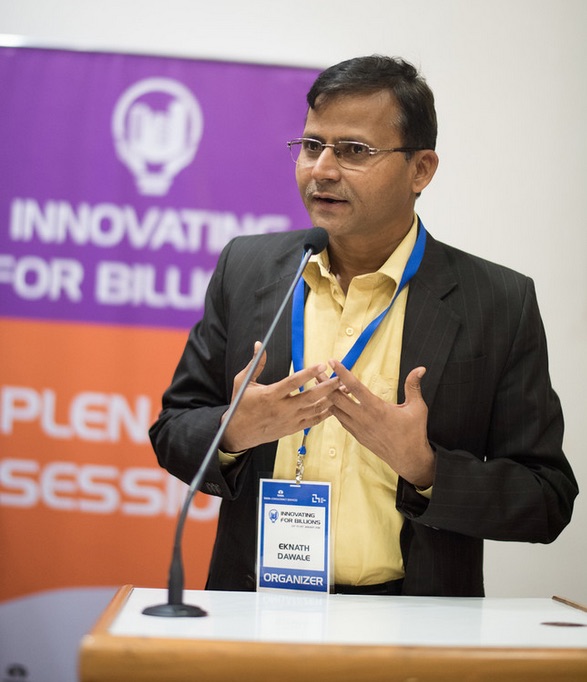
Shri. Eknath Dawale
Secretary, Agriculture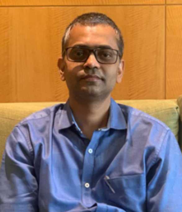
Shri. Dheeraj Kumar
Commissioner, AgricultureA Workshop of MahaMADAT at Vanamati Nagpur
Dr. Rajankar & team of MRSAC Nagpur, conducted a successful workshop at Vanamati Nagpur. District / Taluka level officials participated in this workshop and resolve their queries regarding web portal and mobile application
