


Recharge Priority
GIS Portal For NHP DSS

Groundwater Prospect
GSDA and MRSAC attempted to explain the interaction of external and internal variables in water scarcity in the form of tool
User Guide
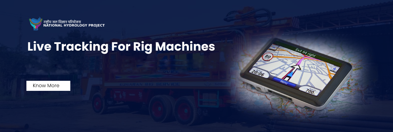
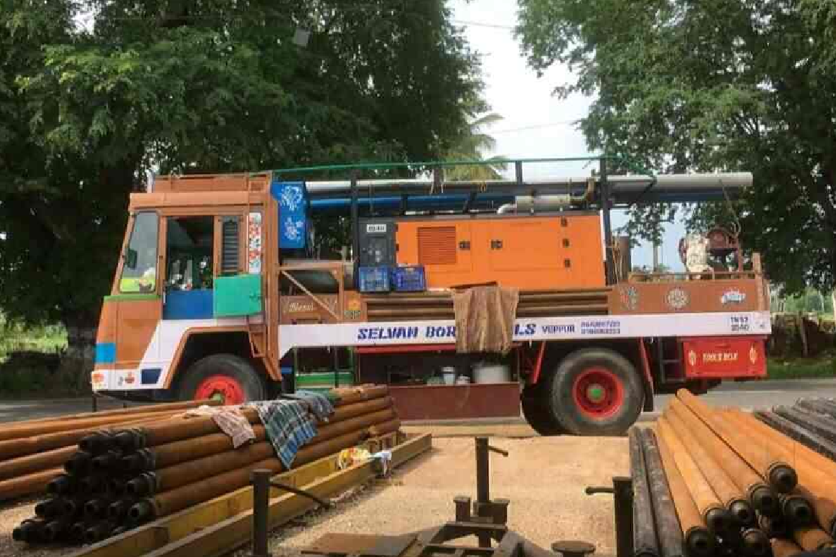
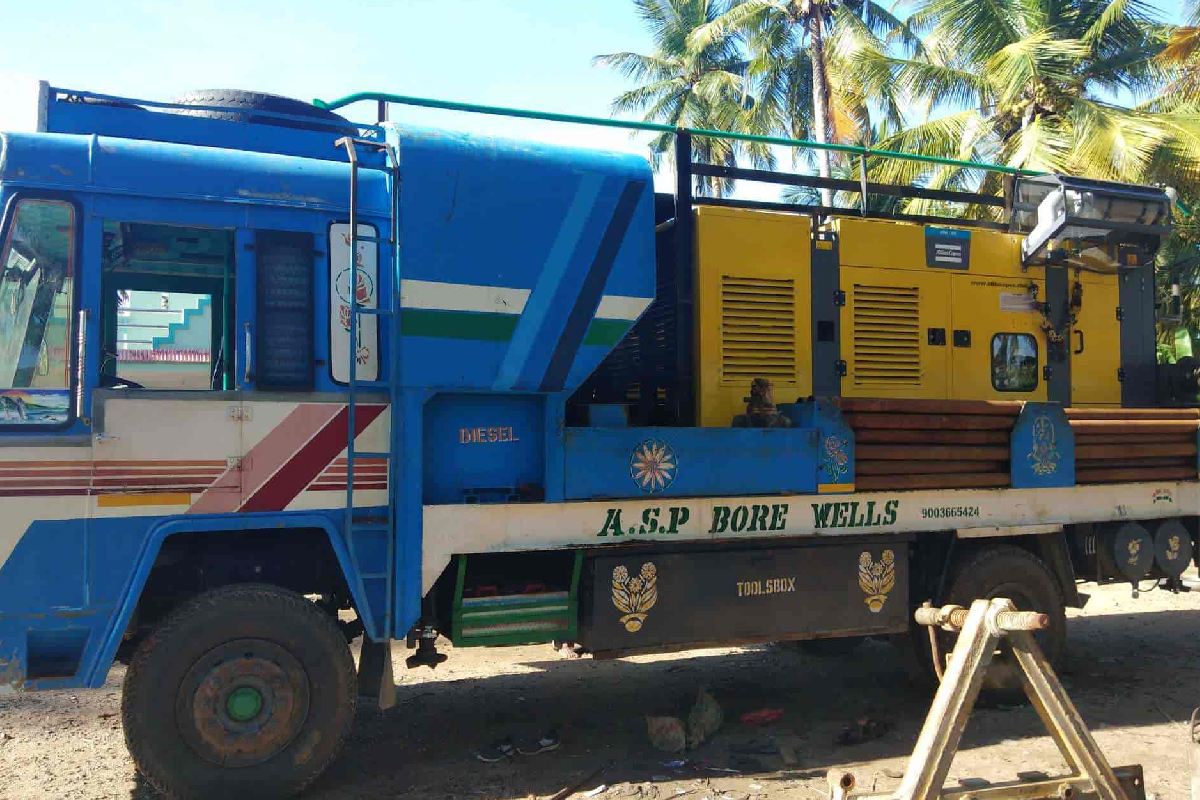
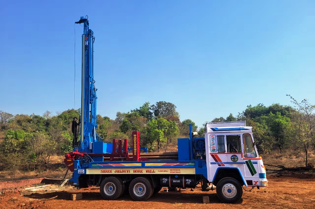
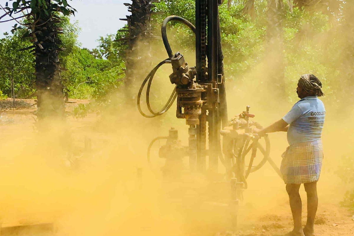
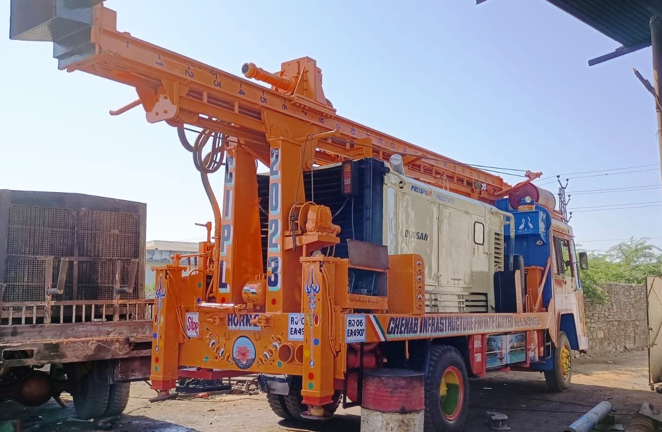
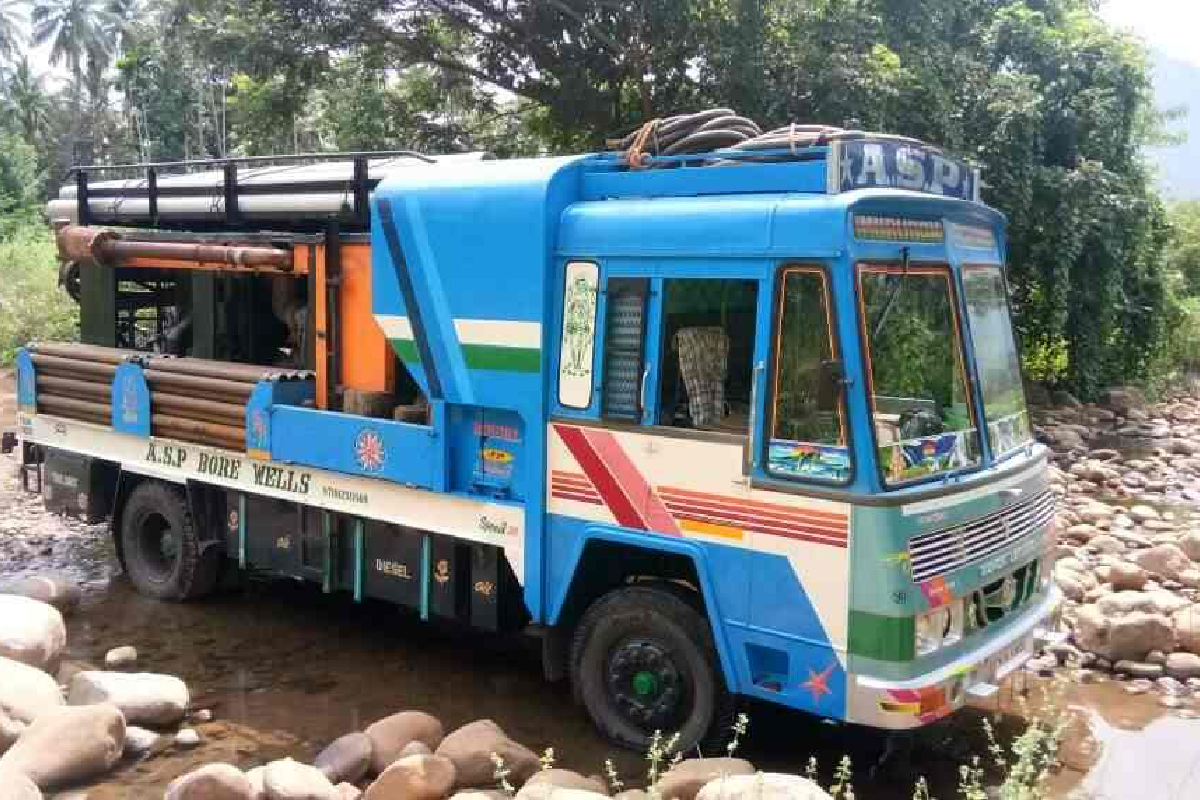
This will help to correlate the location of rig vehicle and drilling activity.
About Us
The Project Agreement between International Development Association and Government of Maharashtra required that the State shall establish the Groundwater Agency, especially for the development of minor irrigation schemes based on groundwater. As per the ...agreement, the State Government has established the Groundwater Surveys & Development Agency (GSDA) during the year 1972. The GSDA is engaged, in the exploration, development and augmentation of groundwater resources in the State through various schemes. This mainly includes, drilling of bore wells/tube wells under Rural Water Supply Programme, rendering technical guidance under minor irrigation programme by locating suitable dug well sites, strengthening of groundwater sources by water conservation measures, artificial recharge projects for induced groundwater, specific studies related to the periodic status of groundwater availability, protecting the existing groundwater resources through technical assistance under Groundwater Act etc. Groundwater Surveys and Development Agency (GSDA) is a Government of Maharashtra organization, reputed at national level for exemplary work in the field of groundwater in Deccan Trap (Basalt). It is one of the nation’s leading institutions concerned with groundwater surveys, exploration, assessment, monitoring, development, management and regulation of groundwater resources for irrigation, drinking and industrial needs. It is also concerned with training, research and consultancy for the planning, development and management of groundwater. GSDA has authentic, voluminous and valuable historical data on groundwater resources in Deccan Trap, Metamorphic, Sedimentary and Alluvial formations for past 35 years. Traditionally, GSDA is entrusted with the mandate of developing and disseminating technologies, monitor and implement national and state policies for the scientific and sustainable development and management of groundwater resources. Importantly, GSDA conducts village wise systematic hydrogeological investigation under various institutionally financed and housing schemes. It also collects, evaluates, interprets, processes and disseminates data on water level and water quality to the end users. It also undertakes periodic ground water assessment in order to regulate the ground water use and guide ground water developmental activities on scientific basis. GSDA also works towards ensuring sustainability of ground water resources, on a long-term basis. It acts as a custodian, for the implementation of ground water legislation, within the State of Maharashtra.Read more
Project Beneficiaries
The project has two groups of direct beneficiaries:
• Implementing agencies responsible for surface and/or groundwater planning and management, including river basin organizations; and
• Users of the State WRIS across various sectors of state and around the World.

Rig Registered
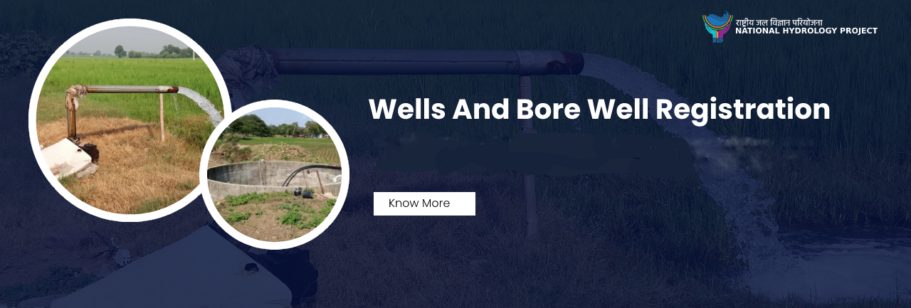
Wells
Bore Wells

NOC Issued
Project Modules
Groundwater Analytics[MIS GIS Data Repository]
Decision tree-based algorithms for groundwater management.
Project Information
NHP will improve and expand hydrology data and information systems, strengthen water resources operation and planning systems, and enhance institutional capacity for water ...resources management. The project will thus strengthen the information base and institutional capacity for evidence-based decision making in water resources planning and operational management at the basin scale across India using the latest technology and tools. NHP will contribute to the GOI Digital India initiative by integrating water resources information across state and central agencies.NHP will span both states that benefited from HP-I and HP-II investments and states that were not included in the earlier projects. In the new states, investments will be needed to move beyond existing basic infrastructure, following the approaches developed in the earlier projects. For HP-I and HP-II states, investment will focus on upgrading and completing networks. For all states, the focus will be on using the information generated for water planning and management.The expectation is that knowledge, open access and stronger institutional capacity will contribute to a shift towards integrated water resources management at the basin scale. The resulting improved water allocation and use efficiency and the improved management of drought and flood risks are expected to bring substantial socio-economic benefits.Read more
Objectives
- Online system for registration of rig owner and machines, tracking mechanism, data compilation of drilled bore wells/tube wells, etc. 1 website 1 mobile app
- Online system for registration of well owners (wells for Domestic, Irrigation and Industrial purposes) 1 website 1 mobile app
- Online system for issuing NOC for :1 website 1 mobile app
- Online system for issuing NOC for :1 website 1 mobile app
- Updation and maintenance of scarcity prediction geoportal as developed under JS-II 1 website 1 mobile app
- Preparation of groundwater recharge priority maps of high resolution for Urban areas in state 1 website
- To develop State Groundwater Resources Information System i.e State WRIS 1 website
Proposed System
- The DSS will work on a core GIS platform with various access points to link to other systems/sub-systems
- The system will work on OGC certified web services like WMS, WFS, WCS etc.
- The system will have accessibility to various modules based on the user credentials defined by the GSDA
Architecture
The Architecture of proposed DSS comprises of layers, which describe the subsystems that work in tandem to serve a single purpose, i.e. a functional DSS based Geoportal. To facilitate and sustain the evolving nature of Geoportals, the proposed architecture will be service oriented in nature, with lower level layers comprising of physical artifacts such as databases, applications etc
Objective Based Methodology
The broad outline of materials and methods by each objective has been given in the following paragraphs for the understanding of the DSS being developed. However, the detailed methodology to accomplish various tasks would be evolved as the actual work of DSS progresses. Since the proposed project is G2G (government to government) kind, any modification in the scope of work / methodology would be accommodated with mutual understanding.

Involvements
Groundwater Survey And Development Agency
The G.S.D.A. is engaged, in the exploration, development and augmentation of groundwater resources in the State through various schemes..
National Hydrology Project
To improve the extent, quality, and accessibility of water resources information, decision support system for floods and basin level resource assessment/planning and to strengthen the capacity of targeted water resources professionals and management institutions in India.

World Bank
The World Bank Group is one of the world’s largest sources of funding and knowledge for developing countries. Its five institutions share a commitment to reducing poverty, increasing shared prosperity, and promoting sustainable development..
Maharashtra Remote Sensing Application Center
An Autonomous body under the administrative control of its Planning Department, to utilize and operationalize the use of space technology for managing and monitoring the natural resources of the State, as well as the developments and changes in the urban society
Frequently Asked Questions
-
Non consectetur a erat nam at lectus urna duis?
Feugiat pretium nibh ipsum consequat. Tempus iaculis urna id volutpat lacus laoreet non curabitur gravida. Venenatis lectus magna fringilla urna porttitor rhoncus dolor purus non.
-
Feugiat scelerisque varius morbi enim nunc?
Dolor sit amet consectetur adipiscing elit pellentesque habitant morbi. Id interdum velit laoreet id donec ultrices. Fringilla phasellus faucibus scelerisque eleifend donec pretium. Est pellentesque elit ullamcorper dignissim. Mauris ultrices eros in cursus turpis massa tincidunt dui.
-
Dolor sit amet consectetur adipiscing elit?
Eleifend mi in nulla posuere sollicitudin aliquam ultrices sagittis orci. Faucibus pulvinar elementum integer enim. Sem nulla pharetra diam sit amet nisl suscipit. Rutrum tellus pellentesque eu tincidunt. Lectus urna duis convallis convallis tellus. Urna molestie at elementum eu facilisis sed odio morbi quis
-
Tempus quam pellentesque nec nam aliquam sem et tortor consequat?
Molestie a iaculis at erat pellentesque adipiscing commodo. Dignissim suspendisse in est ante in. Nunc vel risus commodo viverra maecenas accumsan. Sit amet nisl suscipit adipiscing bibendum est. Purus gravida quis blandit turpis cursus in.
-
Tortor vitae purus faucibus ornare. Varius vel pharetra vel turpis nunc eget lorem dolor?
Laoreet sit amet cursus sit amet dictum sit amet justo. Mauris vitae ultricies leo integer malesuada nunc vel. Tincidunt eget nullam non nisi est sit amet. Turpis nunc eget lorem dolor sed. Ut venenatis tellus in metus vulputate eu scelerisque.


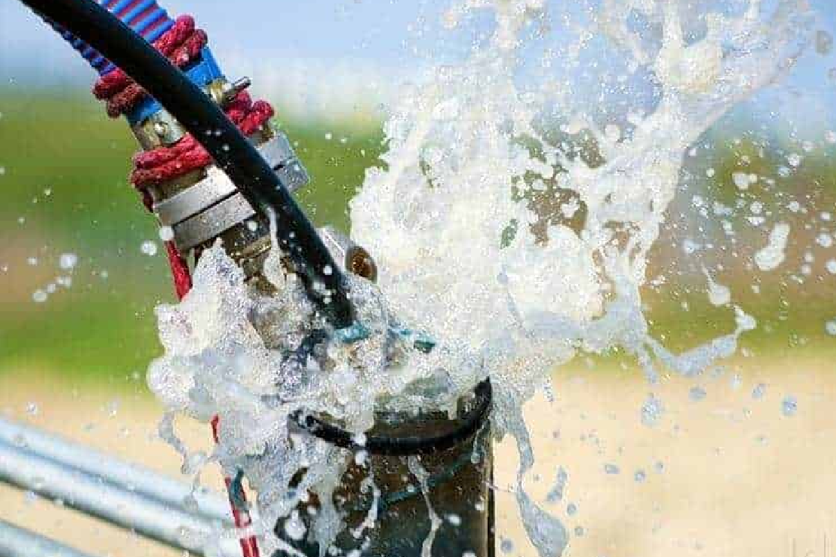
Gallery
Recent Images of Project and Work.
Contact Us
Location :
Groundwater Surveys & Development Agency (GSDA)
Bhujal Bhavan, 1st Floor, KB Joshi Marg,
Near Shivajinagar Pune, Maharashtra 411005 (MS)
Email :
dir.gsda@maharashtra.gov.in /
dydirhp.gsda@maharashtra.gov.in
Telephone Number :
+91-20- 25513716 / +91-20- 25533171
Director : +91-20-25537717